In May we took the option to leave the marina, despite there being a 12nm navigation limit at that time, imposed during the easing of lockdown restrictions. The marina fees were eating large chunks out of our income, after all, we usually only spend a handful of nights in a marina during a typical sailing season in the Med. Mentally, we also wanted freedom from land constraints. We felt much safer out at anchor than living in a busy city.
Luckily for us, there are anchorages within the 12nm limit that would provide shelter from both east and west winds. And so we headed west for Cabo Tinoso.
Cabo Tinoso
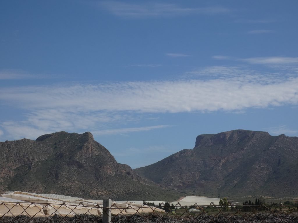
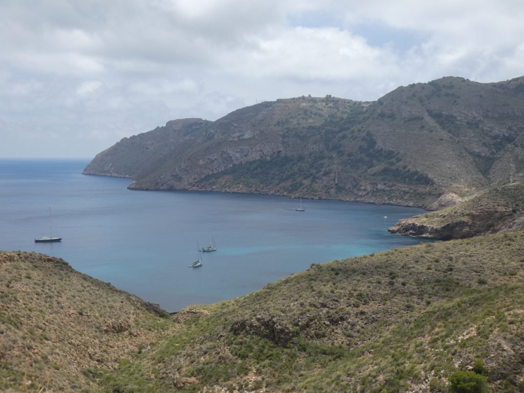
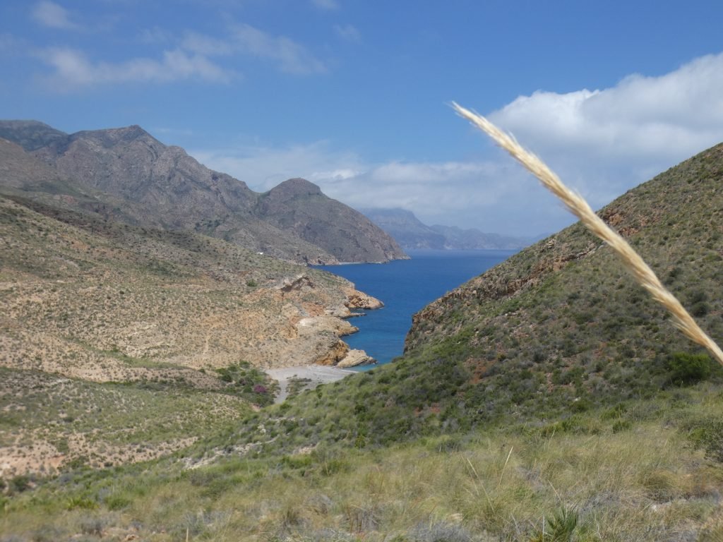
The anchorages on the east side of the cape really are wild. No facilities, weak internet signal and amazing scenery of jagged peaks, rolling hills and rocky outcrops, dotted with splashes of pink oleander and yellow wildflowers. Crowning it all is the shear headland of Cabo Tinoso.


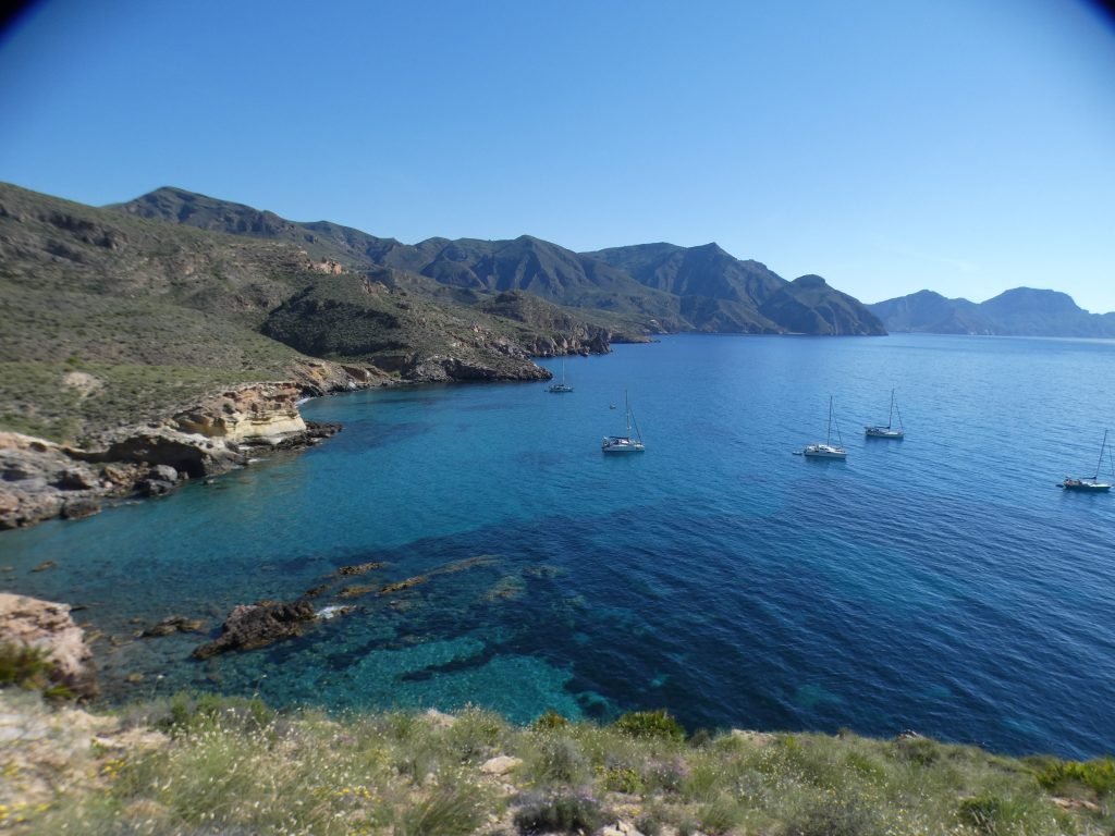
During several days of light winds and under blue skies we enjoyed swimming, kayaking and socialising with the other boats that had come out from the marina. It was a hot few days and the cool water was wonderfully refreshing. A huge sand patch made anchoring easy, clear blue water allowed us to see the fish swimming by. It was idyllic.

The Cannons of Los Castellitos
There are several walks from easy to adventurous. The 583km long GR92 hiking route which runs along the majority of the Spanish Mediterranean coast, passes right by the anchorage and provides a straight forward route to the cannons of Castillitos out on the headland, albeit with 220m of climb.
We’d already visited the cannons in February with a hire car and had nervously driven the narrow, switch back road out to the end of the slim finger of rock that is Cabo Tinoso.

Exploring the Cannons
Perched around the headland are a number of gun emplacements and attached batteries. Built in the 1920s, the fortifications provided a means of protecting Cartagena, whose sheltered waters harboured the Spanish navy. They were constructed in a modernist style. So, rather than looking functional, they could easily pass as a fairground fantasy park. A number of British Vikers guns are still in place: three 152.5mm anti-shipping guns and two enormous 381mm guns. Their long snouts point ominously out to sea and were once capable of hitting a target up to 35km away.
The area is free to visit. A highlight for us was exploring the long, dark passages along which the shells were once transported. A network of cables controlled their passage from underground storage bunker out to the guns.


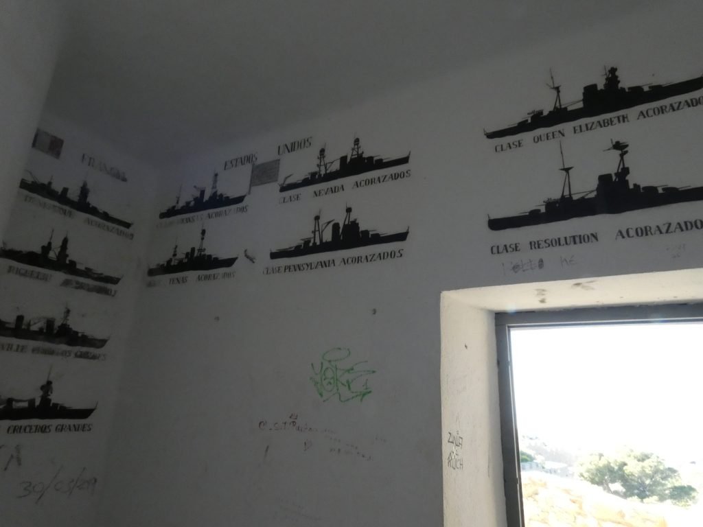
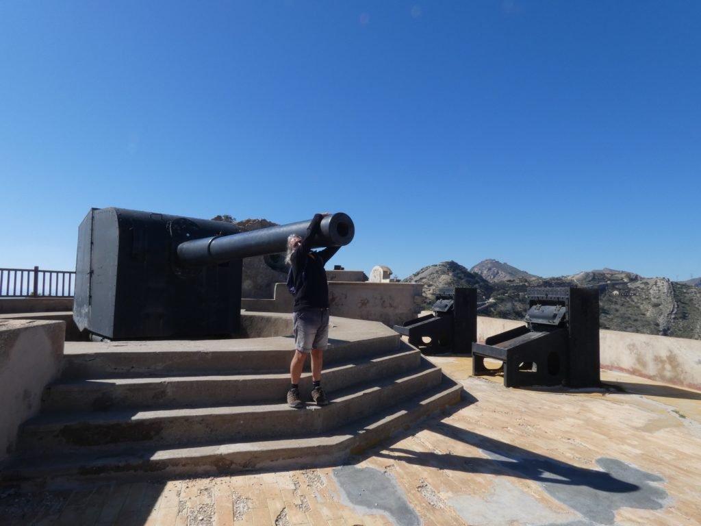
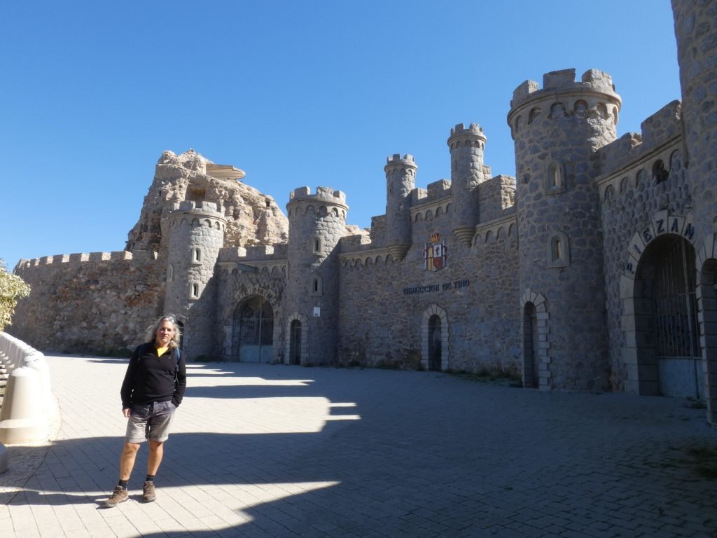
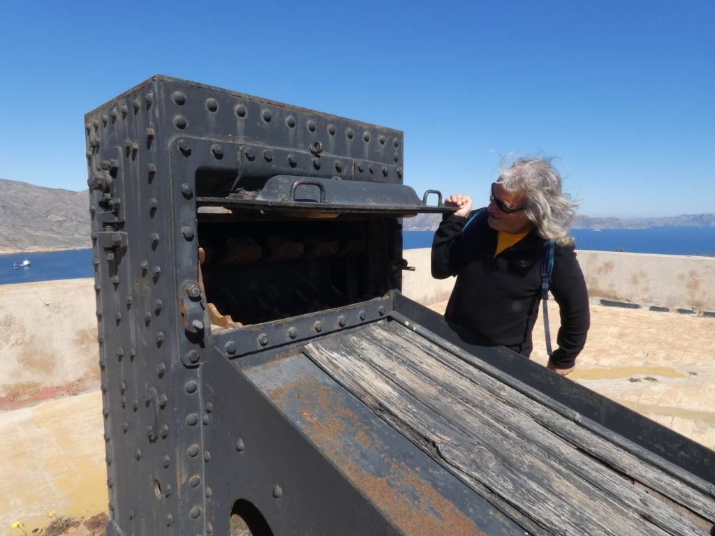
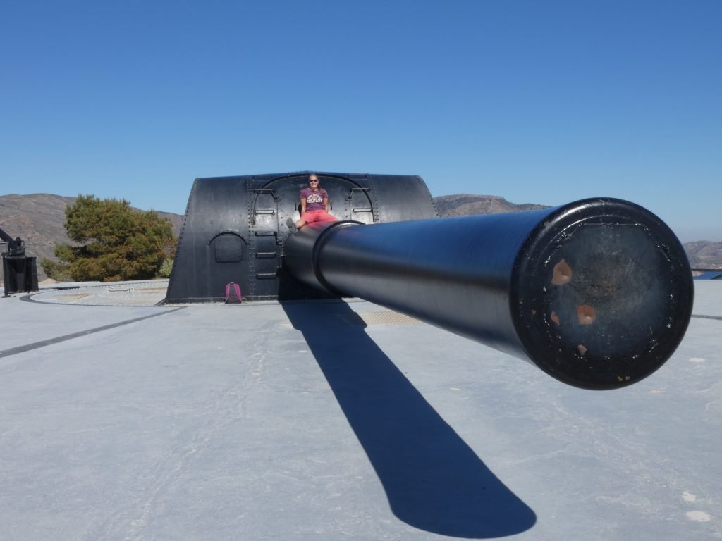

As we wandered the area, we pointed out the anchorages below us with their huge areas of sand. We commented how nice they looked, but little did we know they’d become our refuge in a few months time.

La Azohia
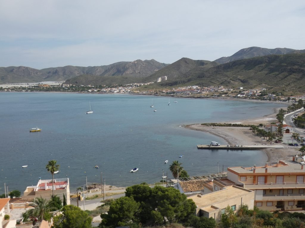
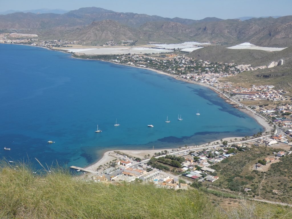
With winds forecast to change to blow from the east, most boats headed back to the marina. This left four to head around to the west side of the headland, to anchor off the beach of Azohia. Again, we had clear blue water and a large patch of sand but also the convenient amenities of a Spar supermarket and bins to dispose of our accumulated debris. There was even a concrete pier to which we could safely tie the dinghy, although we had to make sure we kept out of the way of the working fishing boats.
However, there were downsides. During the weekend we were plagued by jetskiers who rode stupidly close to the anchored boats. And there was the guy who left his small powerboat at anchor and swam ashore for the night. The next morning, we woke to a bumping against the hull and found the powerboat trying to snuggle up close to Emerald.
We also had a couple of days of strong winds to sit out with gusts barrelling down the hillsides and across the water. We made a video about them, which you can view here on our YouTube channel (if you like, you could give us a subscribe please!).
With such clear water, we were able to work on cleaning the barnacles from the hull and propeller. Although now the air temperature had dropped. Getting into the sea was no longer the pleasant experience it had been a week ago. We did several more walks – the GR92 passes right by again – and restocked on the British products we miss with a trip to the Tesco store in Puerto de Mazarrón. We like to occasionally have a reminder of home.


Walks
We took three walks in the area, each of them very different.
Walk 1: Isla Plana
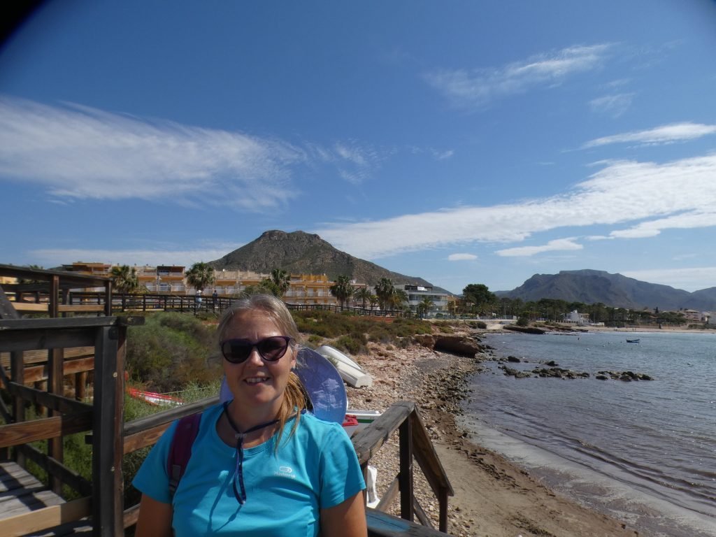
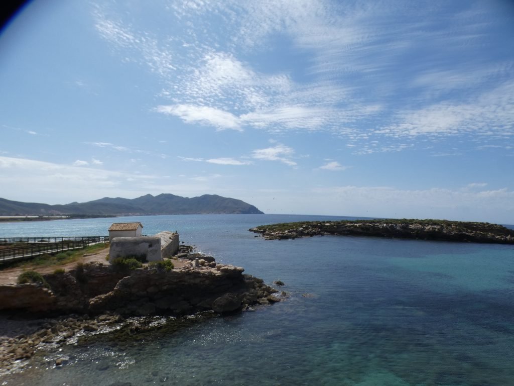
The first follows the coastline along to Isla Plana, the path is very easy to follow, half tiled footpath and half hard packed sand, all of it flat apart from a set of steps.
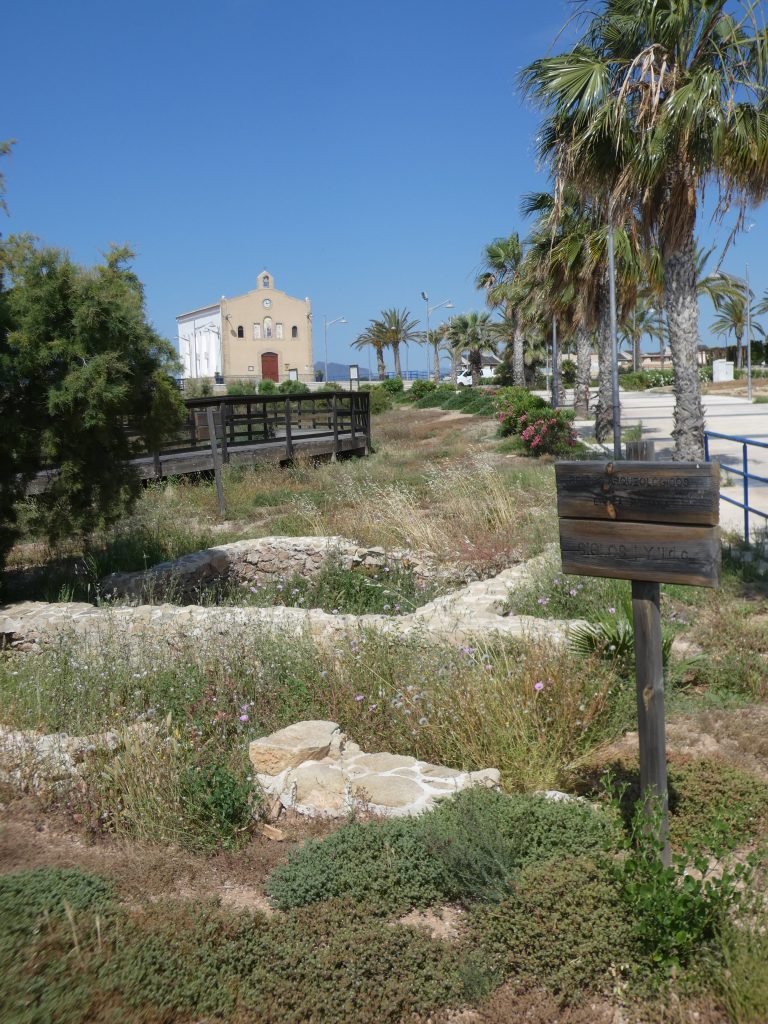
At Isla Plana a boardwalk circles some Roman ruins and by the water’s edge is a complete bathing house. This once allowed easy access to the sea with internal chambers that protected its users from the waves.
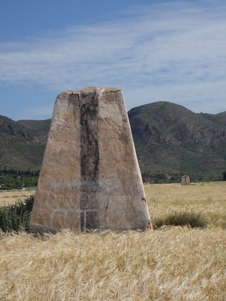
We also passed by a field of grass, with two concrete blocks that looked very like leading lines. Boats out at sea use leading lines to safely navigate into a port or around an obstacle for example. But we couldn’t see what this line’s purpose would have been, there didn’t seem to be anything significant in which to lead a boat to. A mystery!
Walk 2: The Rambla da la Azohia
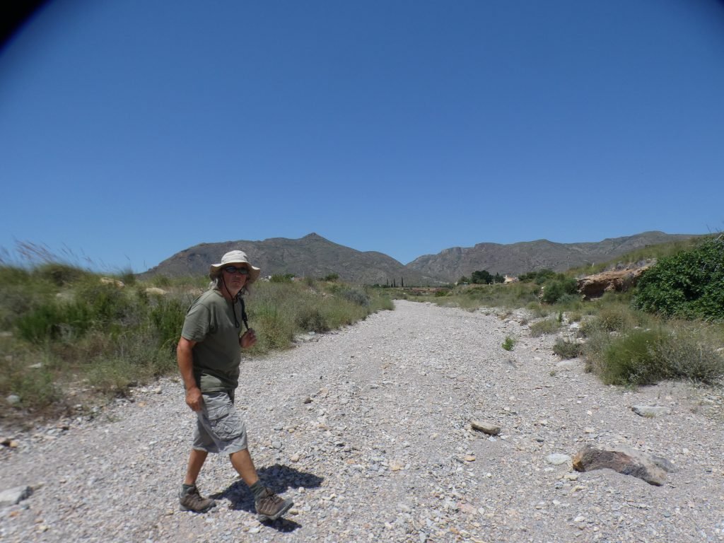
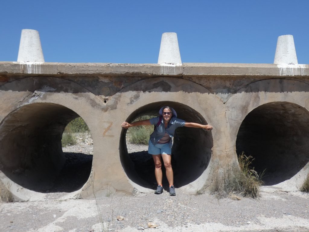
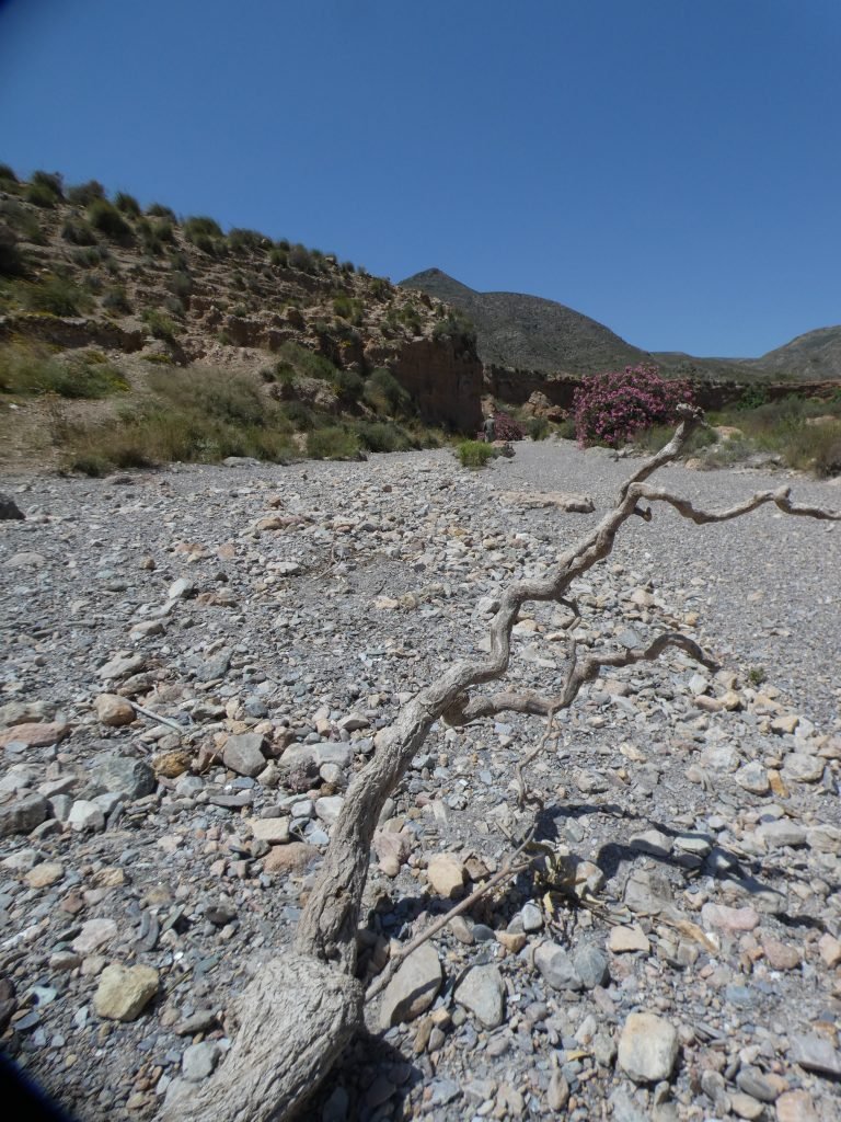
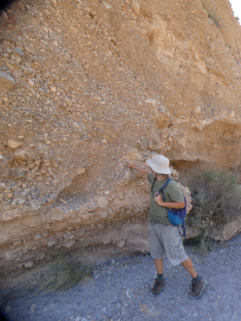
In Spain, seasonally dry watercourses are called ramblas. They’ve formed a part of many of our walks. The Rambla de la Azohia enters the bay having occasionally brought water from the distant hills. Given that we always see them as dusty, dry riverbeds, I struggle to imagine them with water in. However, given the land erosion along the banks, there must have been some significant water flow in this one’s history.

Walk 3: La Panaderia
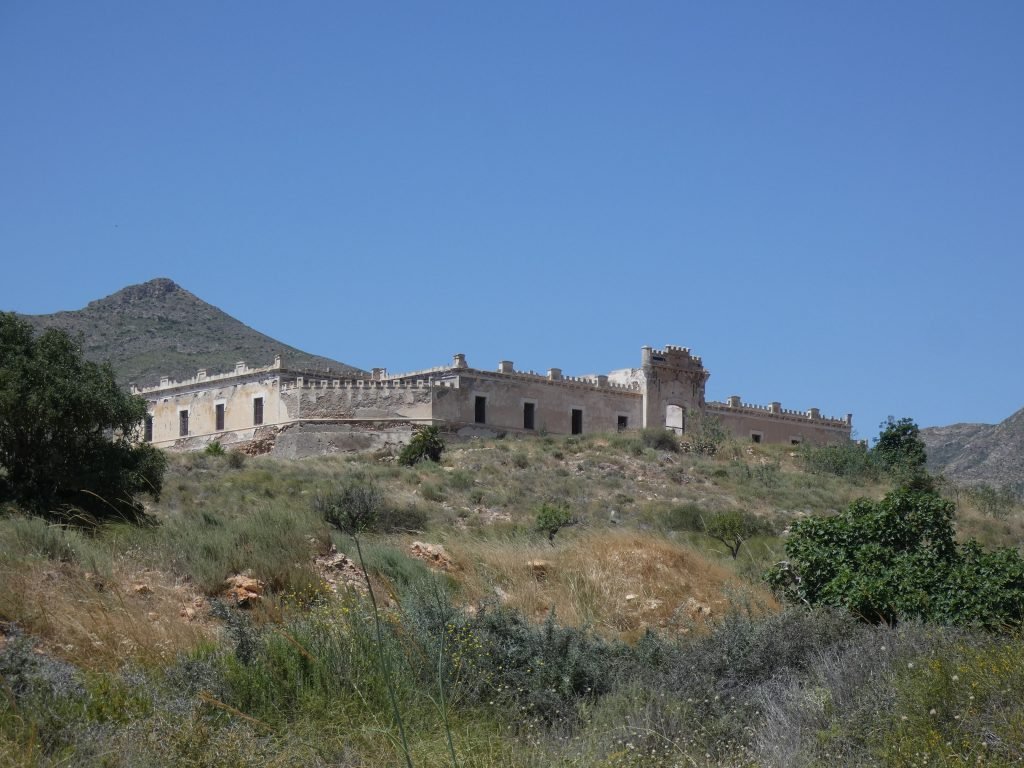
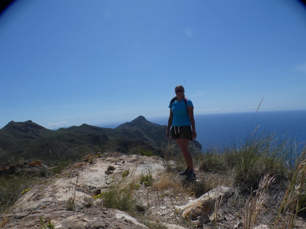
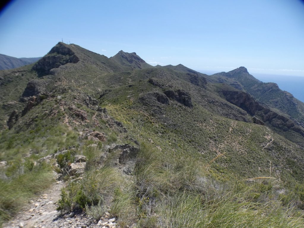
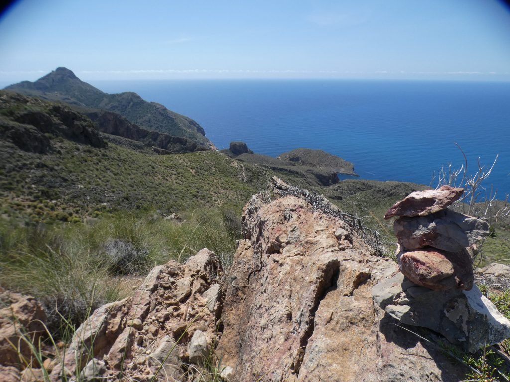
The third walk was the circuit of La Panaderia – an adventurous hike up a ridgeline with striking views as a reward at the top. The path wasn’t so obvious in places, with cairns instead of the usual stripes to follow.
Emerald Day
We also celebrated Emerald Day – 1st June is the anniversary of when we became her owners back in 2004. The sunset was spectacular that night, perfect for watching with a whisky to hand as we sat on deck and celebrated, reminiscing on the many adventures we’d had since then.

Almadraba Fishing
At Azohia, they use an ancient fishing method called Almadraba. Every spring, tuna migrate westwards from the Gibraltar Strait into the Mediterranean. To exploit this movement, nets are laid between March and June, the nets positioned in such a way as to funnel the fish to waiting boats. It’s an ancient technique that we’ve seen mentioned in other parts of the Med, most memorably in the Egadi Islands off Sicily. However, this area of Spain is the only one still using the method.
Just before we’d arrived, a 305kg tuna had been caught here. It’s the largest ever landed in Spain.

When the Winds Blow West, Back East We Go
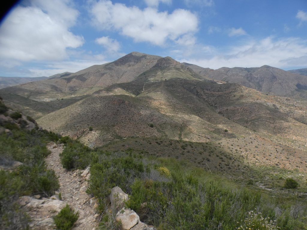
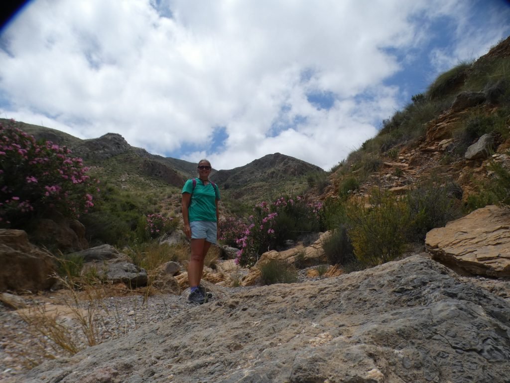
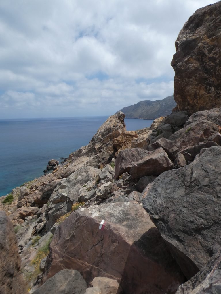
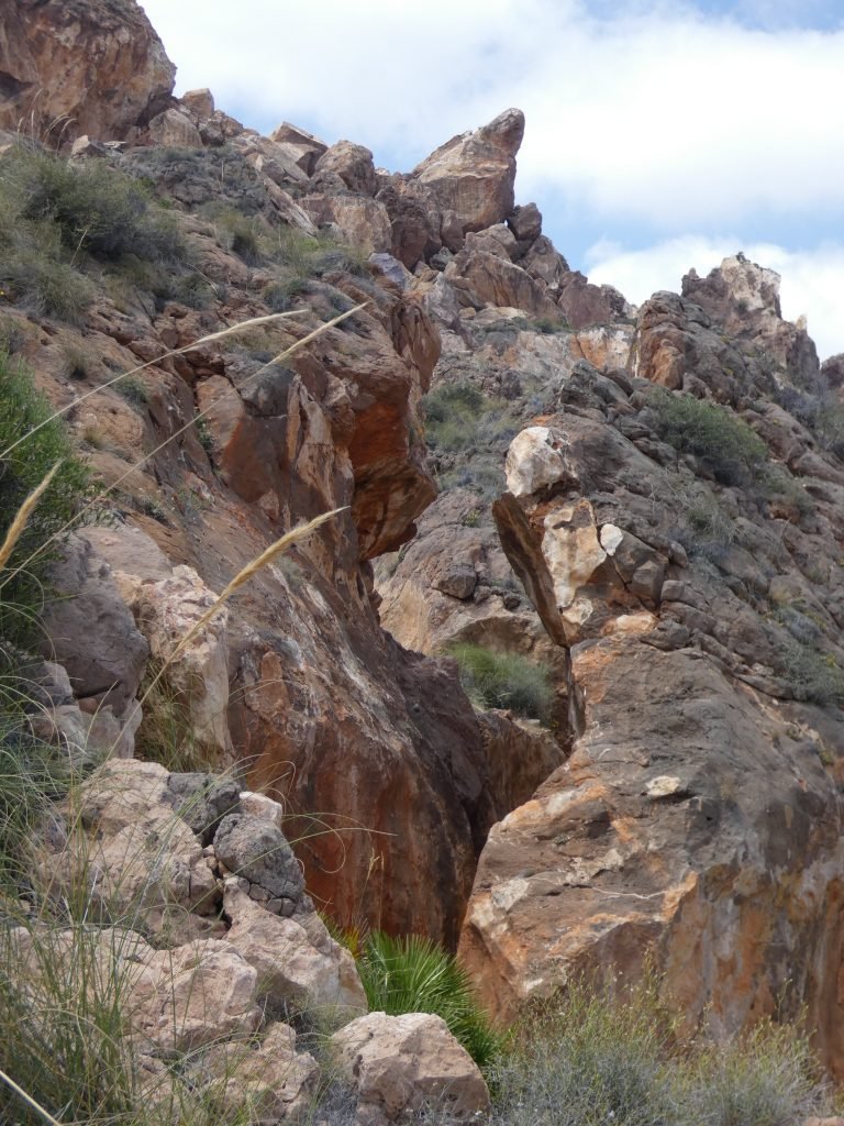
The winds switched to westerly, so off we went back around the east side. On a chart, the anchorage looked like it should be protected from a southwest swell. However, no one had told the swell this and there was a definite slow rolling motion once we’d settled back on the anchor. I escaped to spend a few hours of the afternoon exploring a different part of the hills ashore, making the most of the wilderness. The places we’d visit this summer were unlikely to have this level of ruggedness and I wanted to soak in as much as I could. It was also a relief to be off the boat, my sea legs still haven’t found themselves this season.
The Swell Forces Us On
And so, because of the lockdown limitations, we had visiting an area we would have otherwise sailed straight past. It would be unlikely we’d have the pleasure of such a wild anchorage again this summer, especially once more people are out and about.
The west winds were due to ease over the evening. It was a mildly uncomfortable few hours, but the roll did reduce and we got a reasonably good night’s sleep. But we didn’t fancy sitting it out for the next few days, especially as winds were forecast to be stronger: more wind equals a bigger swell.
Murcia is one of the smallest provinces in Spain and the coastline within it is not a long one. From Cartagena it is approx 35nm to Aguilas, it’s western edge or 35nm to the north of the Mar Menor. As the region had moved into Phase 2 on the 25th May, this became the area within which we could now officially navigate. The swell chased us off to try our luck with the Mar Menor.
The next morning we pushed on east. What a day it turned out to be!
The Social Media Bit: Want to Follow Us?
If you’d like to follow us on other social media platforms (Facebook, Instagram and YouTube), you can do so by using these links:
Or use the link below to track our voyage on NoForeignLand.com.
And finally, you can sign up to receive email notifications of new blogs using the subscribe box at the bottom of this page.
Thank you from Nichola & Colin


looks like it was great that you took advantage of being able to leave the marina and explore an area that you wouldn’t have. It really is times like that which are considered the “bonus” of having the freedom to make your own decisions to explore areas that weren’t typically on your list. Sounds like it worked out well for you and you got in some great places to explore. Thanks for “taking us along” with you – will continue to enjoy traveling along wit you as we are still stuck in the US with Tsamaya in Turkey. Oh well, thankfully we have a few sailing friends to follow- best wishes for continued pleasant sails and anchorages!
Hi Janice, thanks for your kind comments. We were very glad to have visited this area, I’d put it on my top 10 list. Fingers crossed you can get back to Tsamaya soon, and enjoy some time in Turkey. Such a fantastic country to explore
Really interesting read Nic as always. And unlike some of your FB postings…nothing about Colin having to repair something 🙂 ….just all the positive stuff that makes your lifestyle choice attractive…Best wishes to you and Skip ..
Hi Phil, I give him a few hours off fixing things every so often 🙂