October 2016: After an unpleasant night with little sleep we arrived safely in Crete at the town of Rhythmion; looking on the bright side we did sail most of the way.
The sun was shining to welcome us to Rhythmion with a space available on the visitor pontoon. We had called up the marina but had no reply, so we helped ourselves with assistance from a marinero who appeared at the right time to take our lines. We go in forwards rather than backwards when we’re visiting a harbour only temporarily as with the dinghy on the stern it’s a lot of faff to attempt a reversing manoeuvre.
Sleep then won for a large part of the day.
Rhythmion is a delightful town, full of tourist bustle but not over crowded in early October. The streets were pleasant for a wander along with lots of craft shops, bars and restaurants. We visited the fort but wasn’t overly impressed – maybe we were suffering from piles-of-old-rocks burnout after all the ancient sites we’d visited recently in the Peloponnese.
Being a tourist town of course there are the travel companies touting their trips to see the delights of Crete. The trip to the Samaria Gorge caught our eye having read about it in our guide book as one of the best walks to do on the island. It turned out to be a silver lining for my disappointment on leaving the Peloponnese early because the gorge closes sometime in October until the end of April when winter weather makes it dangerous. We took advantage of an end of season offer with Klados travel and signed up for later in the week.
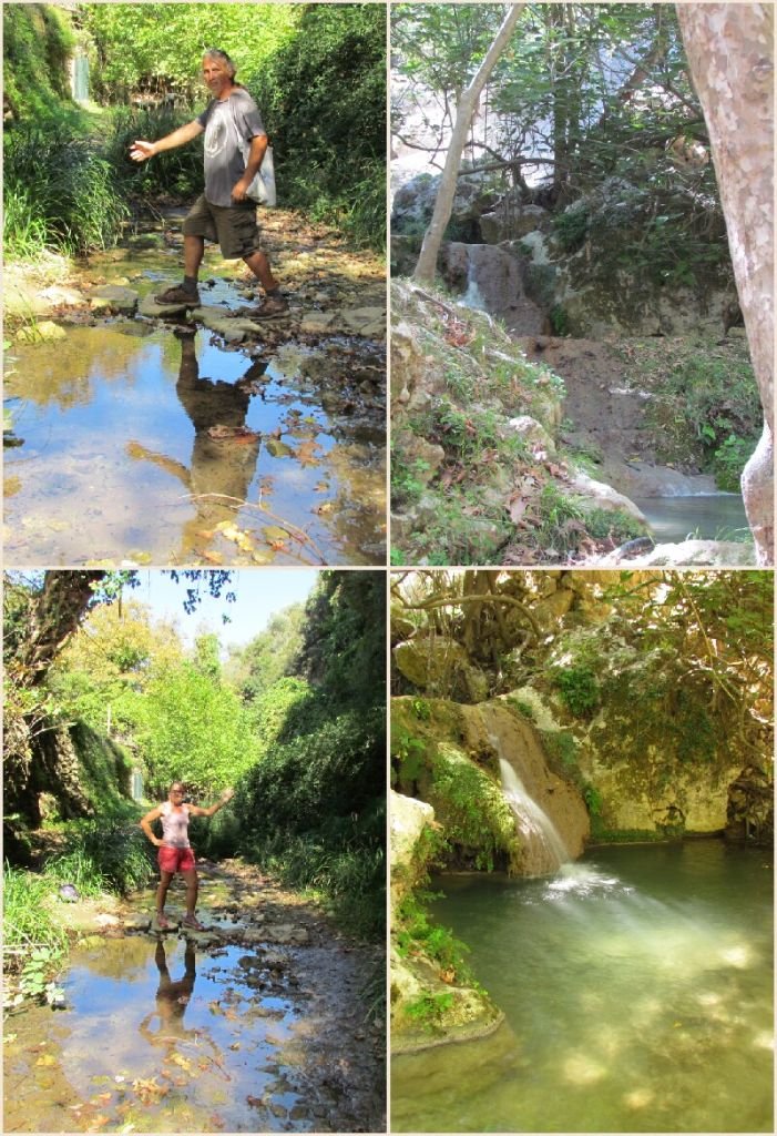
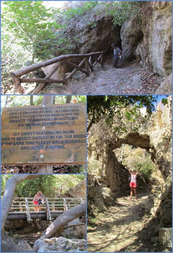
As a warm up to walking 10 miles we visiting the nearby Milos gorge sitting behind Rhythmion. A local bus wound us up the hill and deposited us in the same named village – meaning mill. Dropping down into the leafy gorge on a well made path, we found a stream gently burbling away. Sturdy bridges crossed the river and handrails had been built where the trail got steep. The stream tumbled over rocks and the ruins of many old watermills dotted the route, most in need of a serious fixing up.
The walk through the gorge is only a couple of km long but the scenery is stunning with steep dramatic walls soaring above. The danger signs made us a little nervous! Perhaps that is why there is an occasional church tucked under the crumbly walls so that the faint at heart can make their peace with god before continuing on their way.
At the end of the walk we came across a bar which had their own bananas growing! I suppose we should have expected it given the name of the bar is the Banana Bar. We walked the rest of the way back along the roads to the marina. Total walk length was around 8km.
And so on to the main event…. An early wake up for the bus which picked us up at 6:40am from outside the marina was a shock to the system. Once on the bus we made a few more pickups before heading off towards the White Mountains. Our tour guide gave us a commentary along the way (in German and English) telling us fascinating folk takes and the history of the places we passed. An hour or so later we rolled up at the village of Ormalos for breakfast. It was a little nippy now being high up in the hills.
Fortified by coffee and pastries it was a few more minutes bus ride to the start of the walk where we were issued our tickets, a map and given instructions for timings and where to meet at the end.
The trail starts at the highest point of 1,250m with a large portion of height lost in the first zigzag downhill section. The sun was now rising and taking the earlier chill off. We joined the human line winding their way downwards – there are plenty of places for passing or stopping to enjoy the view. A very useful tip we were given by the guide was to make sure we looked up occasionally!

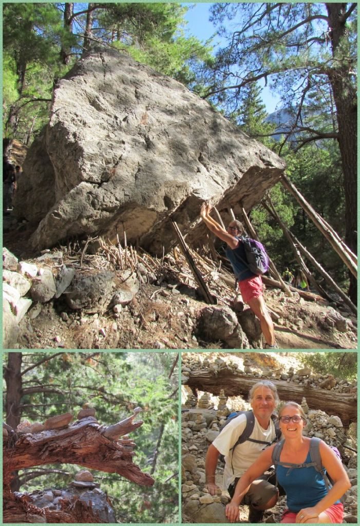
Some enormous rocks have found their way into the gorge! People have used little rocks to decorate fallen trees
Fresh water springs provide top ups for water bottles so you don’t need to carry too much and we passed one of the four legged ambulances relaxing in the shade.
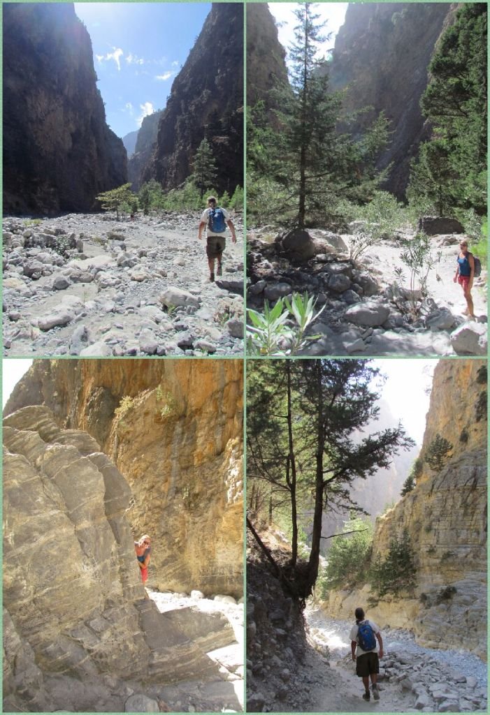
Down in the bottom we met the rocky river bed. Piles of debris – enormous boulders, trees and branches – lined the currently dry water course, attesting to the power of the flow once the rains and snow come. We could understand why the trail is closed over winter as much of the route had us walking in the river. Every so often the path would wind away from the river on trails through the trees but mostly we walked over the rocks and stones in the bottom.
Halfway down we arrived at the abandoned village of Samaria where miners used to live. Now it is the domain of the shy kri kri goats, a few braver individuals wander around hoping for food and posing for photos. Up until now the scenery had been pretty but from here on it became stunning and dramatic. The gorge walls closed in rising sheer up to the sky hundreds of meters above. To be able to see the full river thundering though here would be awesome.
During the summer there can be thousands of people on the hike, a thought which didn’t fill us with joy. Being later in the season we hoped it wouldn’t be so bad and on the whole we had a traffic jam free route. There were occasional bottlenecks but we weren’t held up for long and the scenery was so beautiful we often would just stop and look around whilst people moved on.
The only real disappointment of the route are the ubiquitous, black water pipes which were also draped around the Milos Gorge. The local people do need access to water but it’s a shame there isn’t a more easy on the eye way of extracting it other than ugly, black pipes.
The last couple of km to Agia Roumeli is along a concrete road. Once outside the park boundary, tavernas spring up tempting us with beer – a 2 litre one was really tempting but we decided to push on to the end. Agia Roumeli lies on the Libyan Sea and we watched the waves crashing on the beach whilst resting our weary feet and relaxing over a beer or two and some food. The village can only be reached by foot or ferry; it was 11 euro for the boat to take us to Chora Sfakion where the bus picked us up. A flotilla of busses waited there, ours was first away and as we wound up the hill back over the white mountains we could look down and see the trail of busses following us around the switchbacks as the sun set.
A fantastic day out, the walk was well worth doing, total distance was around 10 miles. There was a wide range of people walking the route, some decked out in full hiking gear, others in flimsy trainers which I can’t imagine were very comfortable. Although there were short section of smooth trail, most of the walk was over rocks and stones in the river bed. There was the odd place where some water ran in the river bed but mostly it was dry. And remember to look up occasionally!


